(L-R) John Knight, Former Principal, Royal School of Military Survey, UK Ministry of Defence; Major Paul Hurst, Senior Instructor, Royal School of Military Survey, UK Ministry of Defence; Professor Todd S. Bacastow, Professor of Practice for Geospatial Intelligence, College of Earth and Mineral Sciences, Pennsylvania State University; and COL [R] Steven D. Fleming, Professor of the Practice of Spatial Sciences, Spatial Sciences Institute, University of Southern California.
SSI’s Steve Fleming speaks at the 2020 Defence Geospatial Intelligence Conference in London
On January 21, 2020, COL [R] Steven D. Fleming, Ph.D., Professor of the Practice of Spatial Sciences with the USC Spatial Sciences Institute and the USC Institute for Creative Technologies, joined other world leaders in geospatial intelligence on the program of the 2020 Defence Geospatial Intelligence (DGI) Conference in London, England. The DGI conference is the largest annual gathering of the international geospatial intelligence community, dedicated to the high-level discussion of geospatial Information, geospatial intelligence and the supporting intelligence, imagery and sensor data sets.
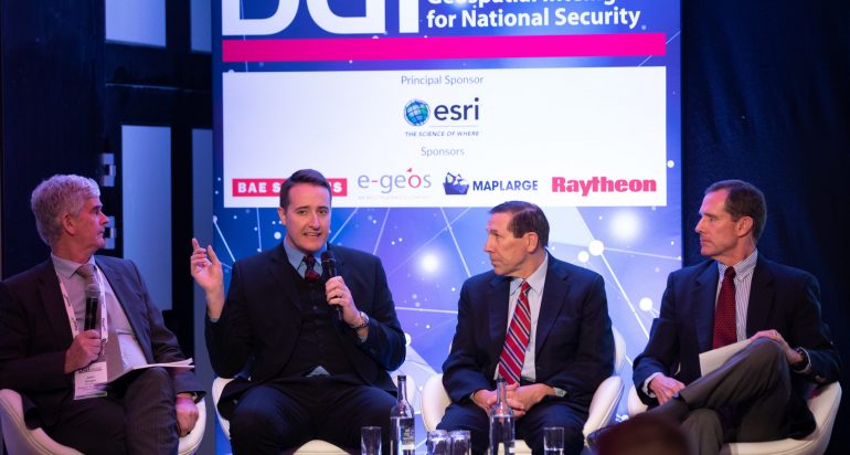
The theme of the conference on January 21 was “Elevating Geospatial Intelligence as a National Defence and Security Capability.” Fleming participated in the panel discussion on “How Can You Attract and Retain Data Scientists when Commercial and Defence Organizations Are All Competing For the Same Talent?” His remarks and those of the other panelists – John Knight, Former Principal, Royal School of Military Survey, UK Ministry of Defence; Major Paul Hurst, Senior Instructor, Royal School of Military Survey, UK Ministry of Defence; and Professor Todd S. Bacastow, Professor of Practice for Geospatial Intelligence, College of Earth and Mineral Sciences, Pennsylvania State University – were geared to help organizations understand how to build the necessary infrastructure and architecture to take advantage of geospatial intelligence capabilities.
Other world leaders in geospatial intelligence (GEOINT) who were featured on the 2020 DGI conference program included Vice Admiral Robert Sharp, Director of the U.S. National Geospatial-Intelligence Agency; Lieutenant General James Hockenhull, Chief of Defence Intelligence, UK Ministry of Defence; and Vanessa Lawrence, Senior Advisor on Geospatial Information Strategy, World Bank.
Since its launch in 2003, the annual DGI conference has attracted several hundred delegates from over 45 countries. Convening at London’s Royal Lancaster Hotel for the three-day program, the 2020 delegates addressed the use of geospatial information in scenarios, such as support to all military operations including Special Forces, maritime security, national security, C4ISR, humanitarian disasters, crime, border control, arms treaty monitoring, and global climate change.
“It certainly was my honor to represent the Spatial Sciences Institute of the University of Southern California at this prestigious gathering,” said Fleming. “The DGI Conference attracts an impressive constellation of attendees. I always find it to be a valuable opportunity to connect with those who are at the leading edge of our geospatial intelligence community, to learn from them, and to bring back to my organization the insights of these leaders,” Fleming added.
In the USC 2020-2021 academic year, Fleming will be teaching courses in geospatial intelligence tradecraft, human security and geospatial intelligence, and spatial data collection using drones for students in the B.S. in Human Security and Geospatial Intelligence program, the Graduate Certificate in Geospatial Intelligence program, and the M.S. in Human Security and Geospatial Intelligence program. Fleming also co-directs the USC Spatial Sciences Institute Human Security and Geospatial Intelligence Lab and is engaged with research contributing to the U.S. Army’s “One World Terrain” (OWT) project, a global, 3D synthetic training environment that provides troops with a high-resolution realistic virtual world for their battle training in locations around the world.
Learn more about the contributions of the Spatial Sciences Institute faculty and student researchers in the GEOINT arena at https://spatial.usc.edu/fostering-safe-communities/.

