Preparing the GEOINT workforce
Graduates of our undergraduate minor, B.S., graduate certificates, and M.S. degrees in HSGI receive a certificate from the United States Geospatial Intelligence Foundation (USGIF). This USGIF certification indicates our students have graduated from academic programs that comply with the highest standards for GEOINT curriculum, faculty expertise, novel research approaches and the availability of adequate resources for state-of-the-art teaching and learning in GEOINT disciplines.
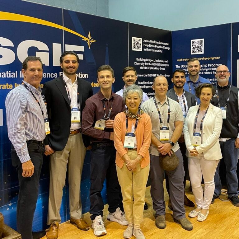
Eight SSI students have won prestigious USGIF scholarships and awards, including the $10,000 RGi Scholarship for Geospatial and Engineering, the $10,000 Ken Miller Scholarship for Advanced Remote Sensing Applications and the Golden Ticket (the USGIF young professional award).
COL [R] Steven D. Fleming, adjunct professor of the practice of spatial sciences; Darren M. Ruddell, associate professor (teaching) of spatial sciences; and Diana Ter-Ghazaryan, associate professor (teaching) of spatial sciences, are faculty leaders in USGIF working groups and its academic advisory councils.
As our HSGI graduates go forth to take their place as contributors to a more secure world, they have workforce-focused leadership, management and technical knowledge to address the rapidly shifting landscape of GEOINT applications, data collection systems, analytic methods and mission support.
Securing the space domain
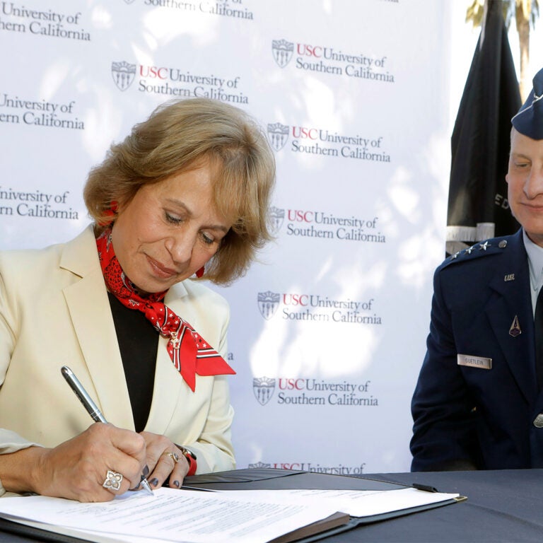
Even before the University of Southern California became a university partner of the U.S. Space Force, the newest division of the Armed Forces, the Spatial Sciences Institute has been placing graduates in role that support national security objectives in the space domain.
Our graduates serving in the U.S. Space Force are engaged in geospatial intelligence, imagery analysis and remote sensing operations.
SSI faculty are members of the USC Center for Research in Space Technologies (CREST), a multi-disciplinary collaboration to accelerate civil and commercial uses of space resources and the rapid technology development and transfer to produce solutions at scale. These faculty are:
- Ryan McAlinden, adjunct assistant professor of the practice of spatial sciences and director of defense and intelligence programs for the USC Institute of Creative Technologies;
- Yi Qi, associate professor (teaching) of spatial sciences;
- Darren M. Ruddell, associate professor (teaching) of spatial sciences;
- Diana Ter-Ghazaryan, associate professor (teaching) of spatial sciences; and
- John P. Wilson, founding director, Spatial Sciences Institute, and professor of architecture, civil and environmental engineering, computer science, population and public health sciences, sociology and spatial sciences.
Developing global security leaders
The Russian invasion in Ukraine; human rights issues in China; world-wide drug and human trafficking networks: these and a multitude of other troubling activities are unfortunate evidence that global security is under threat.
To prepare professionals for leadership roles in global governance and security, the Spatial Sciences Institute offers an M.A. in Global Security Studies (GSEC) with a curriculum that is unique among international relations and global governance programs.
SSI’s two-year program combines a grounding in spatial thinking, analysis, disaster management and remote sensing with global security principles, practices, protocols, intelligence and field experience to prepare individuals for careers in public service, the private sector and the NGO arena.
Steven L. Lamy, Ph.D., professor emeritus of international relations and spatial sciences, chairs the Global Security Studies Program Board.
Faculty and professional advisors, contributors and speakers to the GSEC Program include:
- Gregory F. Treverton, Ph.D., professor of the practice of international relations and spatial sciences; 2014-2017 chairman of the National Intelligence Council;
- The Right Honourable Gordon Brown, 2007-2010 Prime Minister of the United Kingdom;
- Dr. Sally Roever, international coordinator (Executive Director) of Women in Informal Employment: Globalizing and Organizing (WIEGO);
- Grant Murphy, senior policy advisor, U.S. Department of the Treasury, Sanctions; and
- Giselle Zimmerman, team leader – workforce planning, Bureau for Humanitarian Assistance, USAID.
Advancing tradecraft in the curriculum
To date, there is a lack of training resources and curricular materials in support of HSGI student learning experiences for higher education and for continuing education in professional settings.
Darren M. Ruddell, associate professor (teaching) of spatial sciences, and Diana Ter-Ghazaryan, associate professor (teaching) of spatial sciences, are addressing this current shortage in HSGI training and education. They are producing a workbook that will be published by Esri Press to provide instruction to support and deepen student and professional learning experiences in HSGI theory, methods and application.
Topics to be covered include:
- wildfire risk;
- land use land cover (LULC) for HSGI;
- illegal shipping/sea transport;
- disaster management from Hurricane Dorian;
- sea-level rise impacts on residential property value;
- machine learning for urban tree canopy;
- HSGI simulation and gaming;
- urban flooding analysis from Nova Kakhovka dam destruction;
- US National Grid in emergency response; and
- electric vehicle charging station placement.