When does something old become new? For geographic information science (GIS) masters students at the USC Spatial Sciences Institute, it’s their discovery of the centuries-old practice of cartography, reimagined with 21st-century computer visualization capabilities.
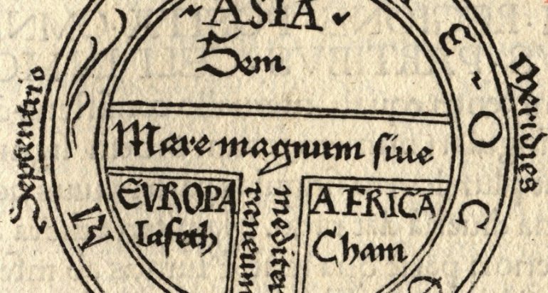
Cave paintings from prehistoric times contain evidence of maps, and humans in ancient civilizations constructed maps to capture their expanding understanding of the world. Today, the art and science of cartography, or the making of maps, combines principles of geographic information science, geography and design to convey accurate information in aesthetic and understandable ways.
Information Design
Spatial Sciences Institute students are embracing cartographic design as a way to distinguish themselves in today’s GIS professional job market. In the Institute’s renovated cartography and visualization course taught by Dr. Jennifer Bernstein, the principles of information design are inspiring current students. The goal of information design is to communicate clearly and succinctly so that the viewer is immersed in the information, rather than spending time trying to decipher the visualization. For example, they are learning how to navigate default settings in software packages that unintentionally contribute to “map junk” because they aren’t tailored to the information being presented. They also are learning about how to elevate their production of maps using crowdsourced data, 3D mapping techniques, and more.
“All spatial scientists, not just cartographers, need to be equipped with the skills to create maps that understand their audience and present their information as simply and beautifully as possible,” said Bernstein.
Learning from Edward Tufte
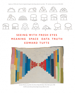 This past summer, a group of SSI students exercised the initiative to organize participation in a number of cartography initiatives to become better cartographers. One of these students, Caleb Winebrenner, arranged for three other SSI students to join him in a virtual information design course this past summer taught by Edward Tufte, world-renowned for his research and teaching in the field of data visualization. As a result of taking this course, students revised maps they made previously to include in their portfolios.
Coming away from the experience, M.S. GIST student Winebrenner shared, “As emerging cartographers, we should seek out the best resources we can, while also sharing what we can with classmates. I knew my maps could be better, and I knew I could learn more if I had others with whom I could study. I thought maybe others would feel the same way, so I asked around. Soon we had a group together to share our work and learn everything we could.”
“I was excited that Caleb contacted me about organizing a group of students to further pursue their interest in cartography,” said Bernstein. “It’s been lovely to share thoughts, opportunities for professional development, and perhaps most importantly maps, in the name of better cartographic design. I anticipate that this will benefit students’ academic and professional careers.”
Join the SSI Cartography Group
Winebrenner and his colleagues in the cartography group plan to meet throughout this academic year, hosting guest speakers and workshops. These students also hope to have a presence at the North American Cartographic Information Society conference and at the Esri User Conference in 2022.
Students interested in improving their cartographic skills and learning more about the field are welcome to contact Winebrenner (winebren@usc.edu) or Dr. Bernstein (bernstjm@usc.edu) about the group’s ongoing activities.

