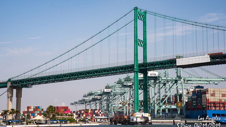
We need creative thinkers who can wrestle with large problems that often span multiple countries and then use sophisticated data analysis and modeling to bring parties together to implement solutions for these problems.

Application criteria
Do you have an undergraduate background in applied social science, science, technology and engineering and some design fields such as architecture? This program could be for you.
An analytical background and perspective with any other undergraduate major could also be great preparation for this program.
Learn more about the admissions process in the USC Viterbi School of Engineering, ranked amongst top graduate schools for engineering and computer science by U.S. News & World Report.

Learning objectives
Students learn:
- the design, provision, operation and effectiveness of transportation services in the larger context of economic and social systems;
- how organizations can best adapt to changes affecting the transportation environment in which services are demanded and provided, including the relationships between transportation, technology, information services and regulatory requirements; and
- to characterize, analyze and address complex transportation problems at the system level by relying on both theory and applied analytical methods.
Curriculum
Complete a 23-unit program core to understand the relationships between transportation, technology, information services and regulatory requirements; and to characterize, analyze and address complex transportation problems at the system level by relying on both theory and applied analytical methods.
Then take 12 units for the GIS Specialization among courses offered by the Spatial Sciences Institute.
For a complete description of the M.S. in Transportation Systems Management degree program, please see the listing in the USC Catalogue.
Please consult with an academic advisor in the Viterbi School of Engineering or in the Spatial Sciences Institute prior to registering for any classes.
Core
-
The unique characteristics and importance of spatial information as they relate to the evolving science, technology, and applications of Geographic Information Systems.
-
Design, implementation, and interrogation of relational, object-oriented and other types of geospatial databases.
-
Examination of the process of geographic abstraction and modeling in relation to the different data models and spatial analysis operations available in current GIS.
Choice of elective (one four-unit course)
-
Introduction to the theoretical foundations, methods, and software systems for spatial econometrics using a variety of use cases.
-
Introduce the spatial data scientific approach to issues and present a holistic generalizable analysis pipeline.
-
Design and implementation of locally served and cloud-based geospatial web applications. Construction of web maps, mashups and Volunteered Geographic Information interfaces.
Talk with an enrollment advisor
To learn more if the Transportation Systems Management GIS Specialization is right for you, please email spatialsciences@usc.edu.


