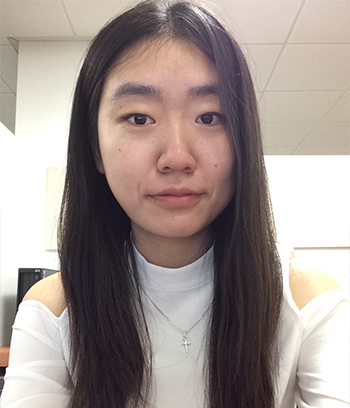
Spatial science fascinates me with its ever-evolving mapping technology. Started with drawing paper maps in high school, I entered the world of GIS at USC and have been exploring the great potential of geospatial technology ever since. I first worked for SSI’s 3D campus modeling with CityEngine project, which helped me land a summer GIS internship at the Huntington Library, Art Collection, and Botanical Gardens. Then with a growing interest in imagery and remote sensing, I began working with Dr. Travis Longcore on the research to evaluate light pollution near National Parks using satellite images. Meanwhile I am passionate about bringing geospatial technology into advancing the study of the earth system. So with a graduate collaborator I started to build a digital geological database using ArcGIS for our geology research in the Sierra Nevada Mountains. In June 2016 I was fortunate enough to become one of the three Dangermond Fellows, a new program founded by Esri CEO Jack Dangermond through the collaboration of Esri and the National Audubon Society with the aim of fostering leaders in enterprise GIS, and since then I have been working for the one-year program while completing my senior year at USC. One of my biggest interests now is 3D mapping with drone imagery. I am excited to explore the possibilities of aerial photogrammetry in earth sciences and just fly for fun!
From paper map to GIS, from desktop to the sky, I am grateful for the opportunities USC has provided me to not only be able to chase but also discover my new dreams. Mapping is my way of organizing science to unveil the mysteries of nature. And I am glad to have a minor in Spatial Studies to learn more about it.


