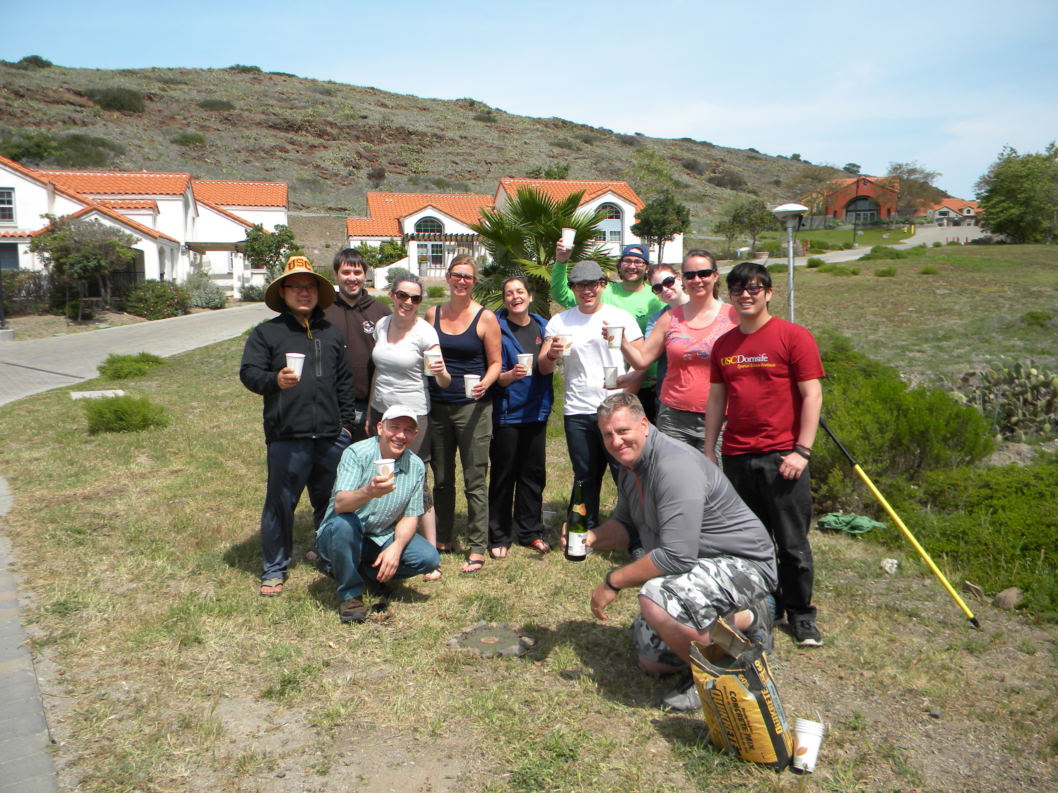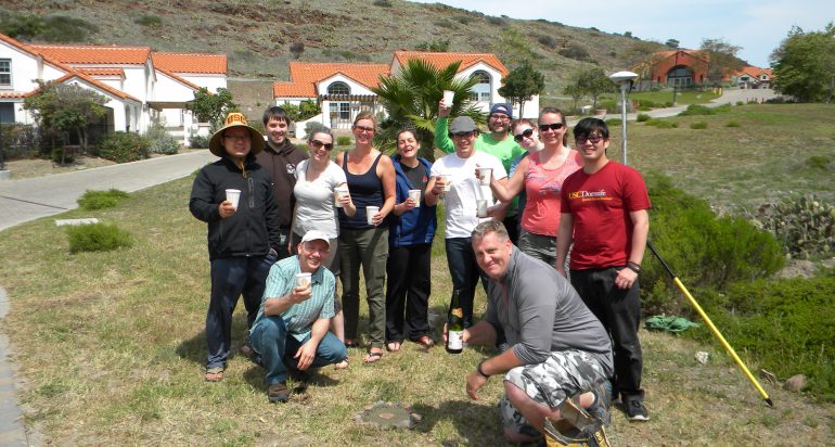
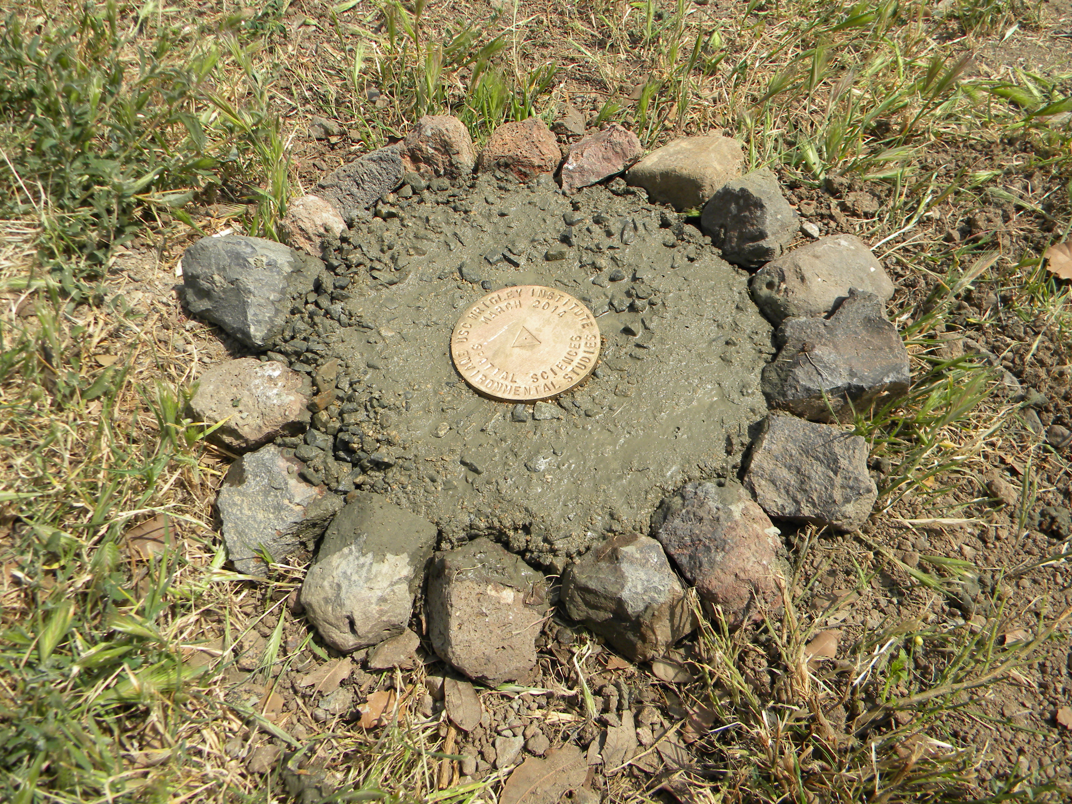
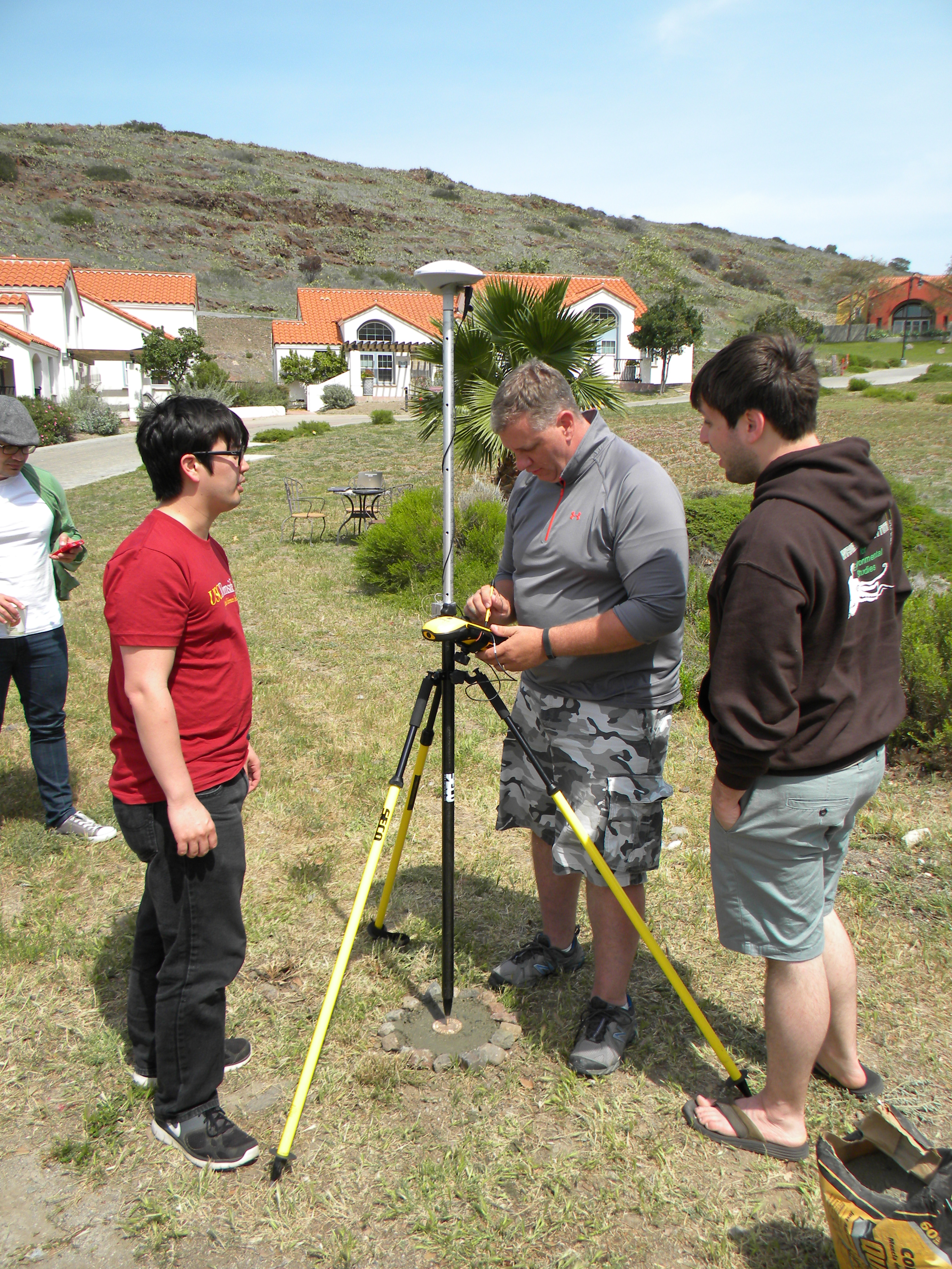
Survey benchmarks are used to mark a precisely measured elevation point. Hikers reaching the top of a mountain are often rewarded by finding a benchmark left by surveyors in the past. This spring, a class of GIST students taking SSI 587 (GPS/GIS Field Techniques) at the Wrigley Marine Science Center, installed their own benchmark at the site.
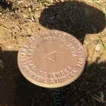
Student Brian Reifschneider, who works as a surveyor, came up with the idea and was joined by the class in installing the benchmark. The site was located with precision by using the advanced Global Positioning System (GPS) units used in the class. The benchmark is embossed with the name of the Wrigley Institute for Environmental Sciences and the words "Spatial Sciences."
-
- Before concrete.

-
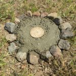
- Benchmark after concrete.
-
- Checking elevation of the benchmark.
-

- After installation of benchmark.