Students, faculty, and professionals from across the Los Angeles region gathered last month for the third annual geospatial summit. Hosted at the Japanese National Museum in downtown Los Angeles, the all-day event featured keynote addresses, student papers, panels, and a reception and poster session.
Close to 100 participants joined the event, two-thirds of them students representing academic programs from Occidental College, Cal State LA, Santa Monica College, Rio Hondo College, CSU Channel Islands, Long Beach City College, Cal State Long Beach, Cal Poly Pomona, UCLA, and USC. Professionals hailed from such employers as CitySource, Eagle Aerial Imaging, Esri, Los Angeles County, Healthy City, and World Vision International.
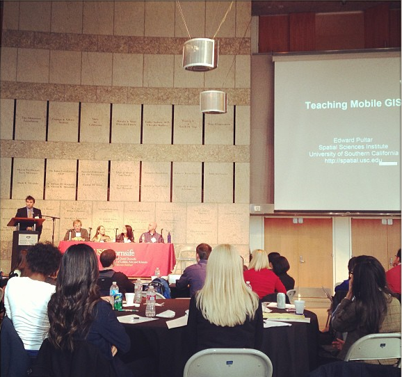
Esri emerging business expert Myles Sutherland gave one of the keynote addresses, while CSU Channel Islands professor Christopher Cogan moderated a well-received panel on GIS education. Other presentations explored issues of representation of spatial-temporal data and the democratization of data.
The schedule mixed student presentations in with experienced professionals, and provided plenty of time for networking. For USC GIST student Gary Townsend, the summit offered an opportunity to meet the faculty with whom he had been interacting online. “Inclusion in the summit was my first real taste of USC, the Spatial Science Institute and the real potential of GIS.The summit and all the faculty exceeded my every expectation,” he commented after the event. “I thought the presentations were a great eye opener and summit was well worthwhile and a terrific introduction.”

