During the summer of 2017, a number of USC Spatial undergrads had great internship experiences. Here are a just a few examples:
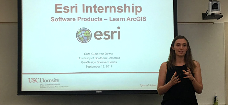
Eliza Gutierrez-Dewar, a junior majoring in GeoDesign and minoring in Architecture, landed one of a select few internships at Esri with the Learn ArcGIS team. Eliza’s role allowed her to create and manage content for the Learn ArcGIS website, a resource that offers scenario-based tutorials of Esri products. “I spent my summer editing and testing lessons and got the opportunity to write my own lesson,” said Gutierrez-Dewar. “This summer taught me a lot about working in a large tech company, and also a lot about how I fit in in the professional sphere. I enjoyed meeting new people and asking lots of questions. I worked to contribute to my team every day, but also took as many opportunities as I could to learn about new skills and Esri as a whole.”
Joanna Wang, a GeoDesign senior, also had the opportunity to work with Esri on their GeoPlanner team where she developed an online video-tutorial series entitled “San Francisco Infill Project” and created lessons that teach users to calculate Gross Floor Area using the 3D feature in GeoPlanner. (Joanna’s work can be found here.) “One of my takeaways from this internship is learning the value of my multidisciplinary education from USC Spatial in the GIS software development industry. I realized that my GIS experience along with knowledge in urban planning, GeoDesign, and architecture design equipped me with the ability to help GIS users to understand the power of GIS through simple and clear messages,” said Wang.
Rich Windisch, another GeoDesign senior, spent his summer at NASA’s Jet Propulsion Laboratory. Rich worked with the GeoGateway program where he put his GIS skills to use analyzing UAVSAR observations to detect motion in landfills. “Working at NASA JPL was an incredible experience and I hope it allows me to have many other exciting opportunities in the future. I was able to learn more about GIS projects outside of the Esri software platform and to gain insight to the professional field of using GIS for scientific advancements,” said Windisch. “I previously thought of myself as someone with a GIS background and love for problem solving through interdisciplinary approaches. This internship was the first time in my life that I saw myself as a scientist,” he continued.
If you’re interested in learning more about internship opportunities or would like to advertise an internship to USC Spatial students, please contact Academic Programs Director Ken Watson or Managing Director Susan Kamei.

