USC Spatial announces the 2018 M.S. in GIST Thesis Prize Winners
The USC Spatial Sciences Institute has announced the 2018 prizes for the top three outstanding theses in M.S. in Geographic Information Science and Technology (GIST) program.
Congratulations go to:
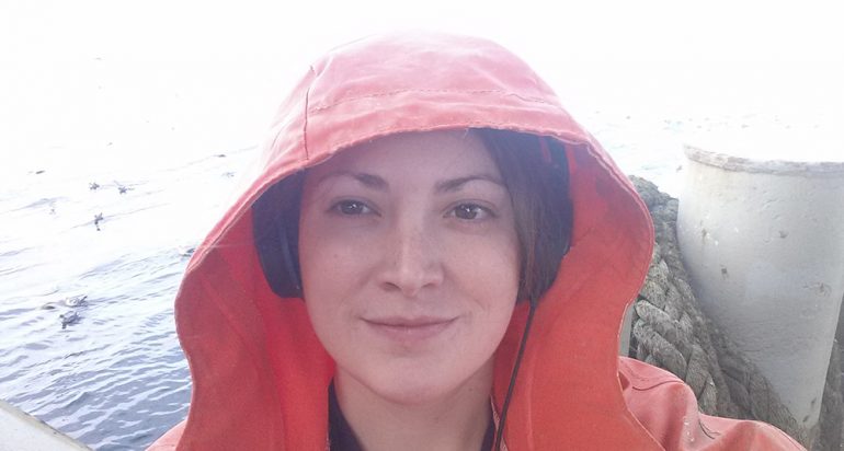
- Carrie Steves, first place, for her thesis “Trends in the Alaskan Bottom-Trawl Fishery from 1993-2015: A GIS-Based Spatiotemporal Analysis”;
- Neil Stone, second place, for his thesis “Social Media Canvassing Using Twitter and Web GIS to Aid in Solving Crime”; and
- James Luttrull, third place, for his thesis “Radar Horizon Estimation from Monoscopic Shadow Photogrammetry of Radar Structures: A Case Study in the South China Sea.”
In her thesis, Steves investigated the spatial and temporal extent of Alaskan bottom-trawl fishing effort on the health of the ecosystem in the Bering Sea, Aleutian Islands, and Gulf of Alaska. She examined National Marine Fisheries Service data collected between 1993 and 2015 in a space-time cube using ArcGIS Pro. The variables analyzed were number of hauls per area and total catch per area.
She used statistical techniques to examine spatiotemporal autocorrelation and clustering in these data, and found that fishing effort was non-randomly clustered over space and time. A three-dimensional hot spot analysis showed which areas were most intensely fished and illustrates the long-term trends over the study period. She then compared the data with two external factors, sea ice concentration and closed marine protected areas, to determine the effect of changing regulations and climate on fishing activity.
She found that the implementation of new Marine Protected Areas in previously fished areas caused a shift in fishing effort to the still open adjacent areas. Sea ice had a limited effect on fishing effort spatial patterns, but certain areas in the Bering Sea exhibited increased fishing effort in years with less sea ice effect.
Her thesis advisor was Dr. Karen Kemp. Dr. Steven D. Fleming and Dr. Travis Longcore served as committee members. For taking first prize, Steves received a cash award of $1,500 from the Spatial Sciences Institute, a certificate, and her name inscribed on a plaque in the USC Spatial office honoring each year’s top thesis prize winner.
Stone’s thesis detailed the creation of an open-source Web GIS application that can quickly match crime incidents and location-tagged social media posts that share location in space and time. His objective supported an over-arching goal of providing a publicly available investigative tool that could be used by citizens and members of law enforcement, augment existing social media strategies in law enforcement, and aid in accelerating case clearances. His analysis of the data collected for his work confirmed the reasons for the lack of co-locations and revealed directions for future investigation in this area.
Stone’s thesis advisor was Dr. Karen Kemp, with Dr. Yao-Yi Chiang and Dr. Jennifer Swift as committee members. Stone received a cash award of $1,000 and a certificate, which was presented to him at the May 2018 USC Spatial Commencement reception.
Luttrull’s thesis focused on the challenge of the People’s Republic of China’s (PRC) militarization of artificial islands in the South China Sea (SCS) to security of, and freedom of navigation in, international waters. Luttrull described how static defenses on these islands enhance Anti-Access and Area Denial (A2AD) efforts, allowing de facto sovereignty in the area sustained by successful radar coverage. While many A2AD tools may not be measured without direct access to the product, Luttrull identified that conventional radar structure heights may be measured remotely, allowing for indirect measurement of an adversary’s radar range. Luttrull found that though estimates for these ranges have been published by various defense think tanks, his study builds on shadow analysis literature to perform more accurate measurement and projection of radar ranges through use of remote sensing and trigonometry applied to imagery of SCS radar construction in late 2017. His novel methodology uses shadow analysis to measure radar tower heights combined with radio wave propagation equations to provide a viable alternative to rule-of-thumb estimation.
Dr. Steven D. Fleming was Luttrull’s thesis advisor, with Dr. John P. Wilson and Dr. Andrew Marx as his committee members. Luttrull received a cash award of $500 and a certificate.
On behalf of the Spatial Sciences Institute, Dr. Robert Vos, director of graduate studies, congratulated all three prize winners, their advisors, and committee members. Dr. Vos said, “Every year, the faculty selection committee finds their task of selecting the top three theses from our M.S. in GIST program to be increasingly difficult. To produce so many high-caliber theses on the extensive range of topics with such innovative approaches speaks to the extraordinary talents and dedication of both our M.S. in GIST students and our faculty members. We are especially proud to highlight the contributions of Carrie Steves, Neill Stone, and James Luttrull to the scholarship of spatial sciences.”
To learn more about the value of a master’s thesis from the USC Spatial Sciences Institute GIST Graduate Programs, visit https://gis.usc.edu/curriculum/masters-thesis/, and to see the roster of the M.S. GIST master’s theses which have been successfully defended, visit https://spatial.usc.edu/m-s-in-gist-theses/.


