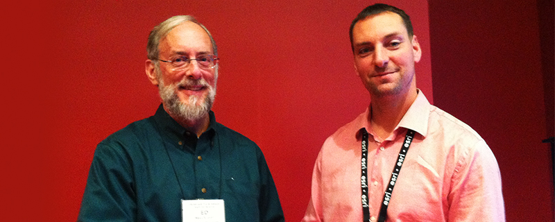
WMATA GIS Manager Ed Wells, left, and USC GIST alumnus Anthony Leimeister present their innovative approach at the 2015 URISA conference
Anthony Leimeister (GIST Graduate Certificate ’14) makes a unique contribution to survey monument management with GIS
The Washington Metropolitan Area Transit Authority (WMATA) is one of the busiest and biggest transit authorities in the country, covering the highly populated and strategic area which includes our nation’s capital. Among the top five transit authorities in the country, WMATA is a very busy and complicated entity, running trains at rush hour every three minutes and providing approximately 320 million rides per year.
WMATA maintains, among other things, 118 miles of right-of-way with inbound and outbound tracks as well as yard and storage tracks. Half of the rail system is underground where there is no GPS signal. So how does WMATA, also known as Metro, know where its assets are located?
As Metro has constructed its tunnels and tracks over the past 40 years, it set thousands of survey monuments to define property ownership and alignment location for the placement of all system improvements. In fact, Metro survey monuments not in tunnels or on tracks are frequently used by surveyors for other surveys in the area because they are well-known reference points. These monuments – small discs set in various base material to maximize stability and longevity – are constructed to never move unless they are removed by a jackhammer. In their field notes, surveyors record their observations and verify the condition of the monuments, as well as take photos and ties to other nearby improvements for ease of future field searches.
Over the years, Metro had kept track of its survey monument records on a series of archived complicated and non-standardized spreadsheets. In 2014, Don Falken, Metro’s chief surveyor and chief of Metro’s geomatics team, approached Ed Wells, Metro’s GIS manager, for help in creating a spatial relational database management system (RDBMS) of nearly 10,000 survey monument records. Falken said, “Several of our WMATA surveyors had GIS education and experience and were poised to take on such a project.”
As Wells described the process, such projects are easy to start and hard to finish. Enter Anthony Leimeister, then a new surveyor on Falken’s surveying team who was in the online graduate certificate in geographic Information science and technology (GIST) program with the University of Southern California (USC) Spatial Sciences Institute. Leimeister would serve as the critical link between the surveying and GIS domains. Said Wells, “Throughout the project, Anthony was the person who could make the GIS people understand what the surveyors are trying to say and do, and could make the surveyors understand what the GIS folks were trying to say and do.” Falken concurred that Leimeister keep the project moving and ensured that the survey team understood the design of the RDBMS. Falken further shared, “We needed open communication amongst all the technical staff and Anthony had the skills to facilitate such an effort.”
With Leimeister serving as the “translator” between the surveying and GIS teams, they jointly created a uniquely simple, flexible and workable design. “Collaboration amongst such skilled in-house staff was instrumental during the agile development process,” said Leimeister. Their database model separated the historic records into three core tables: (1) physical monument (e.g., monument type or Stamped ID); (2) activities at the monument (such as setting or recovering a monument, or date of activity); and (3) geographic positions observed or calculated in the course of each activity. With his combined surveying and GIS expertise, Leimeister participated in the application design and review, and took the lead in converting and standardizing all of the historical record information, including surveyors’ field notes, into the new database.
Once they had a working version of the application and could display it on a map, Leimeister was able to quickly identify several gaps in the information where large portions of data had not been historically tracked since system creation, and then went off in search of the missing records. Said Wells, “We could have never have known there were missing records without the ability to visualize the data.”
Another goal of the project was to organize and access the scanned PDFs of the original surveyor notes and other records that show what was documented at the time. Leimeister was the key in constructing a standard naming protocol to accurately link the documents to the appropriate record in ArcGIS. He also constructed a new application so that the database can be edited and maintained with integrity. Leimeister said, “The ability to retrieve historic monument information from a spatial RDBMS is key for construction, design and asset management. The tools I learned during the graduate certificate in GIST program with the USC Spatial Sciences Institute made that possible.”
Looking back to the origins of the project, Falken said that if it were not for his relationship with Wells, WMATA survey still would be using several data sets to do what they can now do with one. Wells, a past president of the international geospatial professional organization URISA, and Leimeister presented the success of Metro’s innovative approach in two sessions at URISA’s GIS-Pro & NWGIS 2015 Conference in Spokane, Washington. In explaining the significance of the project, Wells said, “We found a whole lot of challenges on the GIS side, as well as issues which run much deeper into IT than GIS use. With 13 people on our team, we had the depth to take on the big challenges and actually complete this project. But it wouldn’t have happened without Anthony being part of the team and without him being in the USC GIST program so that he could be the surveying-GIS bridge.”
Leimeister is now an Assistant Land Surveyor with the City of San Diego where he continues to use the skills he learned at USC to improve information management and customer service.


