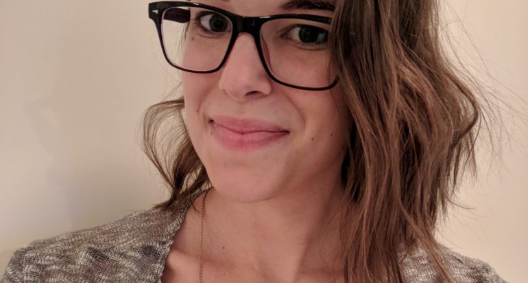
Sara Schubert: The GeoHealth concentration looks at public health through a spatial lens. Looking at where something occurs and determining why it occurs there can be extremely useful when studying health outcomes.
One of the best classes I took in the Spatial Sciences Institute was cartography. This class taught me all about the fundamentals of map making and what makes a map truly effective at communicating a message. This is essential since maps can be an easy way to educate health responders or the general population about threats to their health.
From there I learned spatial analysis techniques and choose a public health issues to focus on. For my practicum I studied Lyme disease, which is very common in the Northeast and is spreading further south. Right now there is a lot of spatial analysis on vector and habitat variables to determine why Lyme is spreading and what type of environmental interventions can help stop the spread of this disease. I was able to create local maps for a hospital and the community showing where they are most likely to come into contact with the vector for this disease.
I chose something local, but almost any health issue can be examined on a map. Communicable diseases are the most obvious but access to health facilities, recreational areas, or healthy foods can be looked to examine health equity or maps can be used to determine distances from pollution sources to enact regulation.
With this degree, I am now working in the Army as an Environmental Science Officer. While I am not actively making maps in this job, I can still find ways to look at issue with a GeoHealth perspective. The geography of a place always impacts the health of the population and wherever the Army goes, it has to be ready to overcome health and environmental issues in order to maintain its effectiveness. - Sara Schubert


