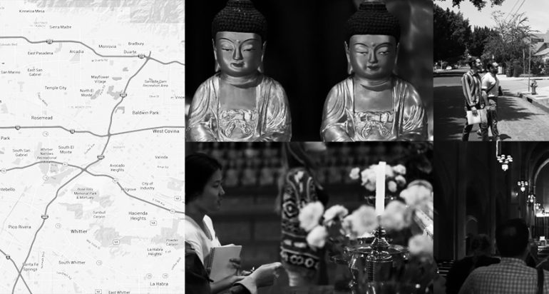
Ten USC undergraduate students recently canvased Southern California to map religious institutions using a GPS app created for this project. Watch the video
Ten USC undergraduate students recently canvased Southern California to map religious institutions using a GPS app created for this project. Watch the video

