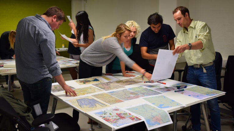
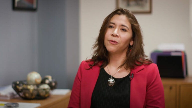
What is geodesign?
Dr. Laura C. Loyola, assistant professor (teaching) of spatial sciences, describes how we use geodesign principles in our teaching and research.
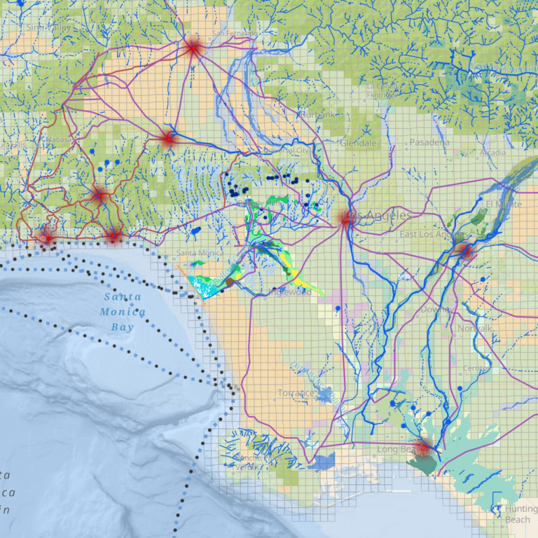
Mapping LA’s Indigenous Sustainable History
With insights from local Indigenous communities, extensive archival research and spatial analysis and modeling, a Spatial Sciences Institute-led consortium has produced the first systematic review of L.A.’s natural ecology, documenting how Indigenous people interacted with the land and each other in a sustainable way before the arrival of European settlers.
Principal investigator Philip J. Ethington, professor of history, political science and spatial sciences, led a three-year collaborative effort with experts from four local public universities — UCLA and the Los Angeles, Northridge and Long Beach campuses of Cal State University — as well as three tribes: the Barbareño/Ventureño Chumash, Fernandeño-Tataviam and Gabrieleño-Kizh.
The report “Mapping Los Angeles Landscape History” and the ArcGIS StoryMap provides residents, leaders and policymakers with an understanding of how the natural regional ecology has evolved and now operates. With this information, local planning efforts can promote sustainability, habitat restoration and climate change preparation.
The 19 co-principal investigators included Beau MacDonald, SSI GIS project administrator, John P. Wilson, founding director of SSI and professor, and Travis Longcore, adjunct professor, Institute of the Environment and Sustainability, UCLA.
The project was funded by the John Randolph Haynes and Dora Haynes Foundation.
Supporting United Nations SDGs
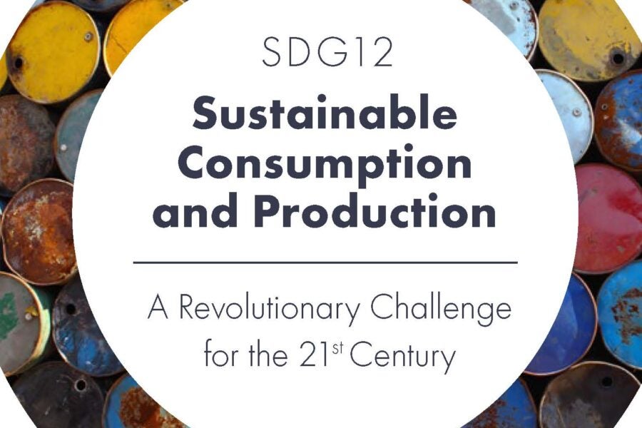
In their book SDG 12: Sustainable Consumption and Production: A Revolutionary Challenge for the 21st Century, Robert O. Vos, associate professor (teaching) of spatial sciences and Jennifer Moore Bernstein, editor in chief of Case Studies in the Environment, tackle various approaches as to how production and consumption can provide for human well-being while minimizing destructive effects on the biophysical environment. Focusing on circular economies, product accounting systems and sustainable procurement, they juxtapose competing theories of sustainable production and consumption and examine competing approaches can complement one another.
Alexa Weintraub (B.S. GeoDesign ’22, magna cum laude) was one of 10 finalists in the student category of the 2020 ArcGIS StoryMaps Competition for Sustainable Development Goals (SDGs), sponsored by Esri and the United Nations Sustainable Development Solutions Network to increase awareness of the SDGs and to foster action towards their achievement.
Implementing “Superblocks”
First launched in Barcelona, Spain, a “Superblock” is one large block that combined many smaller blocks created by older street grid systems. These territorial units use a variety of interventions to reclaim space for the people, reduce motorized transport, provide urban greening to mitigate the effects of climate change, lower harmful environmental exposures and ultimately improve the quality of life of residents.
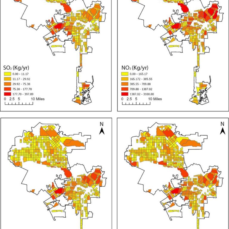
A student research team led by SSI founding director and professor John P. Wilson developed a methodological framework to build a generalizable City of Los Angeles (LA) Superblocks Model and evaluate the predicted health benefits that would follow such an intervention in a highly versatile and populated metropolitan area.
Based on the assumption that Superblocks crucially free up urban space from car-based mobility by assigning novel uses to street spaces (i.e., urban greening), the team conducted a series of analyses using BenMap-CE and the i-Tree tools to estimate the health and economic benefits of implementing the LA Superblocks Model. Their analyses offered insights into opportunities for cities to tackle challenges such as climate change, noise and air pollution, urbanization and the limited availability of urban green space.
Li, K., Wilson, J.P., Modeling the health benefits of implementing superblocks across the City of Los Angeles. Journal of Applied Sciences, 13, 2095 (2023).
Learning beyond the classroom
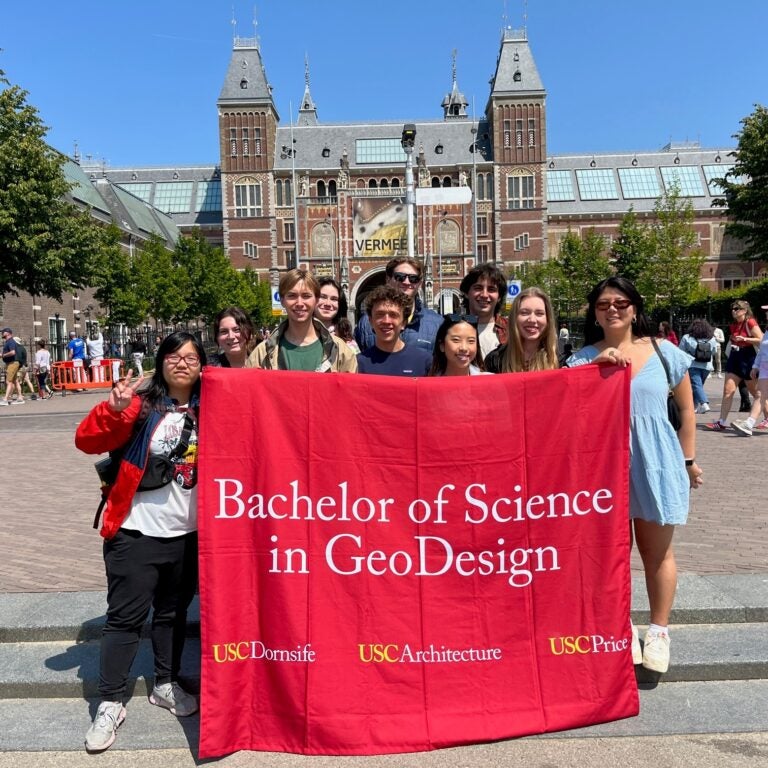
Each summer since 2014, Spatial Sciences Institute faculty have been leading students through an immersion in the essentials of geodesign, fostering critical and spatial thinking abilities while they tackle real-world design and planning issues in an international setting.
As part of their SSCI 350: International Geodesign (Maymester) experiences, students travel to a destination selected to challenge their familiarity with design and planning systems and protocols.
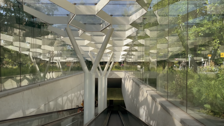
In the 2023 summer course, Dr. Guoping Huang led students to Amsterdam, Netherlands, a renowned hub celebrated for its historical prowess in harmonizing human habitation with nature and its contemporary innovative use of geospatial technology for sustainable development. The class envisioned how Amsterdam could enhance equity and sustainability while accommodating a growing population by 2050, by reacting to existing issues and by proactively proposing innovative solutions.
Planning is underway for future SSCI 350 locations in Asia, Africa and South America.
My time in Amsterdam surpassed my expectations, leaving me with a sense of fulfillment, a wealth of new friendships, and a deeper appreciation for the intersections of design and innovation. It was truly a transformative experience that will continue to shape my career and personal growth. SSCI 350 was one of my favorite classes I’ve taken at USC and one of my most memorable experiences.
Protecting endangered species
Eight Spatial Sciences Institute graduates from our M.S. in Geographic Information Science and Technology program have won the prestigious UNIGIS Academic Excellence Prizes, recognizing the best M.S. theses from among the UNIGIS partner universities worldwide.
Cass Kalinski (M.S. GIST ‘18) won the 2019 UNIGIS Academic Excellence Prize and the 2020 Esri Education Development Center Student of the Year Award for his thesis “Building Better Species Distribution Models with Machine Learning: Assessing the Role of Covariate Scale and Tuning in Maxent Models.”
Using the bristlecone pine (Pinus longaeva) as his example species, Kalinski developed a novel approach that has contributed to the advancement of species distribution models currently used by a diverse community of biologists, land and wildfire managers, environmental scientists and others working to protect endangered species.
Field biologist Bryna Mills (M.S. GIST ’21) used the space time cube to visualize and analyze the spatiotemporal data of the snow crab in the Eastern Bering Sea. Her analysis of the snow crab’s abundance and distribution pattern over space and time as affected by climate change was recognized with the 2023 UNIGS Academic Excellence second place award.