Discover what can you do with this minor
Meet Avery and Eileen

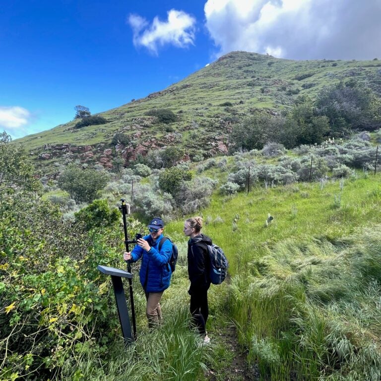
Avery Fratto, B.S. Environmental Studies, Minor in GIS and Sustainability Science ’25
I was introduced to the GIS and Sustainability Science minor by SSCI 165: Sustainability Science in the City. The concepts piqued my interest in a way my other courses had yet to achieve. It became my favorite course at USC, and motivated me to add this minor.
GIS is an incredibly transferable technical skill that has managed to appear in every facet of sustainability I explore. Whether it be public health, climate resilience engineering, atmospheric/air quality science or environmental justice, the role that place plays is critical. Understanding how the geographic distribution of environmental resources impacts communities (both in the built and natural environment) is essential to facing the climate crisis. Being able to utilize GIS software and statistical analysis methods allows one to leverage this knowledge for good.
This minor is unique in that it gives students a highly in-depth, technical understanding of spatial analysis, while still prioritizing the bigger picture of why this work is necessary. And the Spatial Sciences Institute is filled with bright, passionate and kind students and faculty that will always support your educational and professional development.
I’m grateful to have developed a skill set through this minor that will serve me well in any industry I enter, whether it be urban planning, research, civil engineering, sustainability consulting or public policy.
I can’t recommend this program enough.

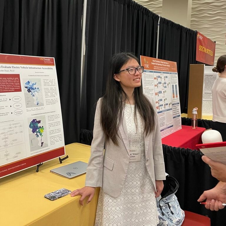
Eileen Baoqi Chen, B.A. Journalism; B.S. Environmental Studies; Minor in GIS and Sustainability Science ’23
Pursuing a minor in GIS and Sustainability Science equipped me with the skills, perspectives and a toolkit as I embark on graduate studies in human mobility and urban networks.
I was extremely lucky to be mentored by professor and founding director John P. Wilson. As a Geodesign Fellow, I acquired invaluable R&D experience at the intersection of water-climate-energy nexus and geospatial innovations, working with the Metropolitan Water District of Southern California to build a central data hub, interactive dashboards and a StoryMap. Through the USC Urban Trees Initiative, I was immersed in pedestrian mobility modeling and engaged in community workshops, honing my cross-disciplinary communication skills in collaborating with earth scientists, landscape architects and city officials.
From ideas inspired and incubated in conversations with faculty and peers, I have had the pleasure of sharing and presenting my work at the USC Undergraduate Research Symposium, the 2023 LA Geospatial Summit, the SCAG 2023 Regional Conference and General Assembly, and the Research Summit of Urban Science and Human Dynamics.
Currently I am at the University of California, Berkeley, where I am in the Master of City Planning program, with a research concentration in networks and complexity.
Excel in grad school and in your career
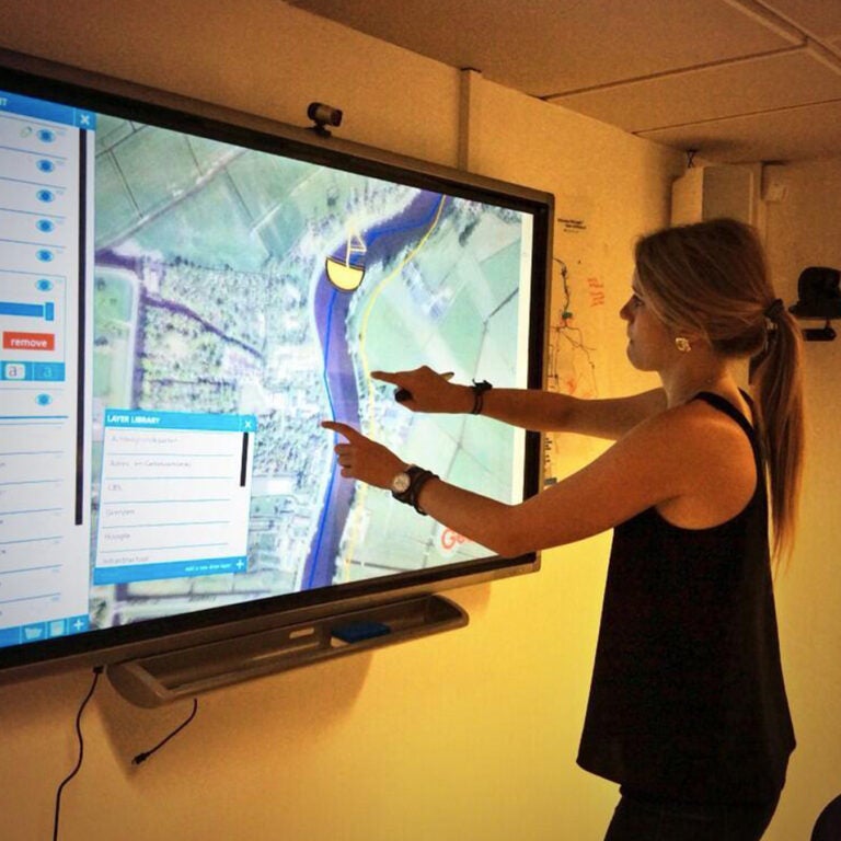
Today’s successful professionals have a command of geographic information sciences (GIS) and geospatial technologies in the social, economic and political contexts of sustainable development. With GIS, they are equipped to guide transitions to sustainability, can support adaptive management in specific places and can encourage society to collaborate for sustainability. This geospatial information is key to linking human and natural systems to understand how humans create stress on ecosystems. With this understanding, decision makers can make informed choices about how to alleviate environmental stress or restore damaged ecosystems.
The demand for GIS and geospatial professionals continues to rise. Geospatial jobs are currently available and growing in every industry and discipline in consulting firms, non-profit organizations, government agencies and private-sector companies. Students combining this minor with their major are prepared for graduate studies in geographic information science, sustainability management, environmental sciences and other related disciplines.
I fell in love with the science of cities and solution-driven research during my four years at the USC Spatial Sciences Institute.
Heal the environment
Combine the GIS and Sustainability Science minor with any major to build an interdisciplinary foundation to address environmental sustainability, among the most pressing challenges of our time.
This minor especially complements majors in:
- Biological Sciences
- Building Science
- Business
- Civil Engineering
- Economics
- Earth Sciences
- Environmental Engineering
- Environmental Studies
- Geodesign
- Global Health
- International Relations
- Political Science
- Public Policy
- Real Estate Development
- Urban Studies and Planning
- and more.
Learning objectives
In this minor, students have the opportunity to:
- identify and analyze the issues involved in organizing, planning, implementing, and monitoring geospatial technology projects in support of sustainability science;
- perform stakeholder analysis to uncover and appreciate the social and political context of using geospatial technology for sustainable development;
- perform implementation, decision-support, financial, and risk analysis to build the case for and ensure the success of using geospatial technology for sustainable development; and
- design a geospatial technology project that contributes to achieving the UN’s sustainable development goals (SDGs).
Curriculum (20 units)
4 units of lower-division elective (choose one below):
-
The influence of sustainability science on public policy and vice versa in the context of social/ethical theories, analytical methods and solutions.
-
An exploration of earth’s water, ranging from water properties, chemistry and pollution, to groundwater dynamics, watershed processes, and oceanic-atmospheric circulation. Implications for past and future societies.
3 required courses (12 units)
-
Role of maps and spatial reasoning in the production and use of geographic information for representing and analyzing human and environmental activities and events.
-
The various ways in which geography can be used to acquire, represent, organize, analyze, model and visualize information. Laboratories are organized around ArcGIS software suite. Prerequisite: SSCI 301L.
-
Fundamentals of spatial modeling and remote sensing and how to use GIS customization and programming to streamline complex spatial analysis and modeling workflows. Prerequisites: SSCI 301 and SSCI 382.
Capstone course
-
Principles and techniques for leveraging geospatial technologies and information in support of sustainability, with emphasis on coupling human and natural systems for global sustainable development.
Learn more
Ask Dr. Robert O. Vos about the minor in GIS and Sustainability Science. Email him at vos@usc.edu.