Our mission
At the Spatial Sciences Institute, we turn geospatial data into solutions for a healthy, prosperous and safe world. By harnessing the power of geospatial sciences and technologies, we foster collaboration, build consensus and support actions that tackle intractable global challenges.
Through our innovative research and academic programs, we educate and launch today’s and tomorrow’s spatial problem solvers to deploy spatiotemporal perspectives and insights across every possible discipline and industry.
We collaborate with faculty colleagues throughout the University of Southern California and with other prestigious institutions around the world on funded research that provides decision makers and citizens with strategies towards a more sustainable life on Planet Earth.
Our priorities
Our academic programs

News & Events


Apply now
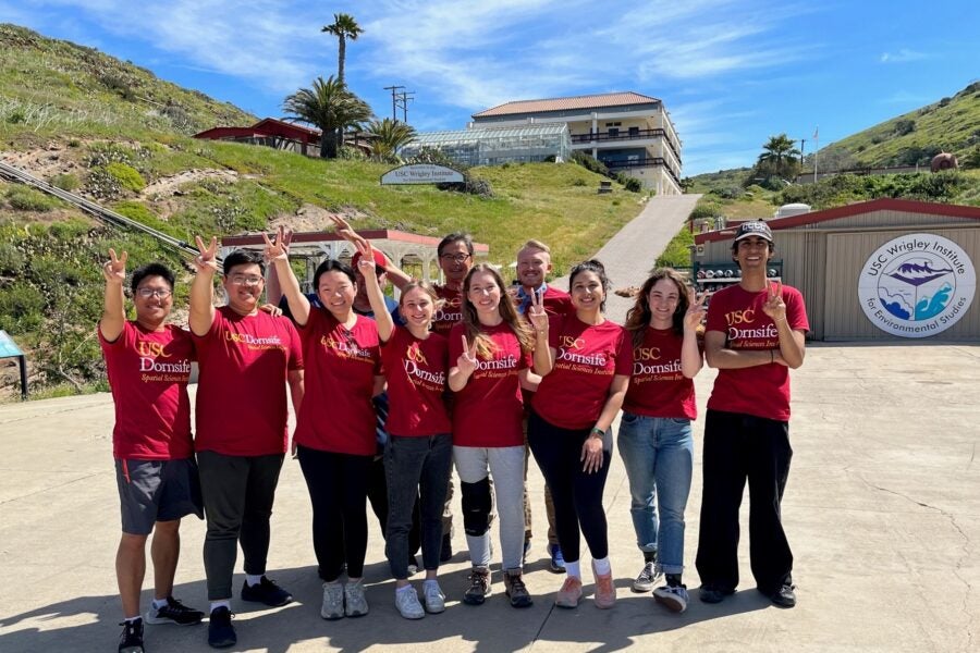
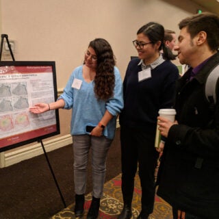
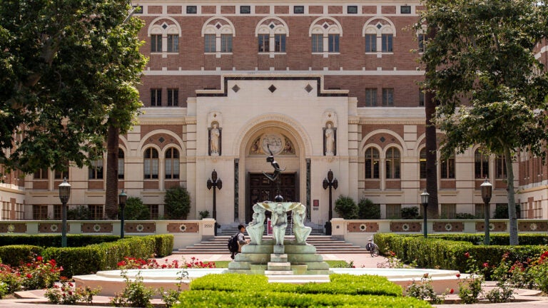
From our home base in the USC Dornsife College of Letters, Arts and Sciences, our undergraduate, masters and doctoral students use their creativity and imaginations to engage spatial thinking and analysis in interdisciplinary and use-inspired ways.
Our alumni in industry, government and not-for-profit organizations are changing the world. You can, too.
What’s happening at SSI
Learn about the impact of our research and teaching
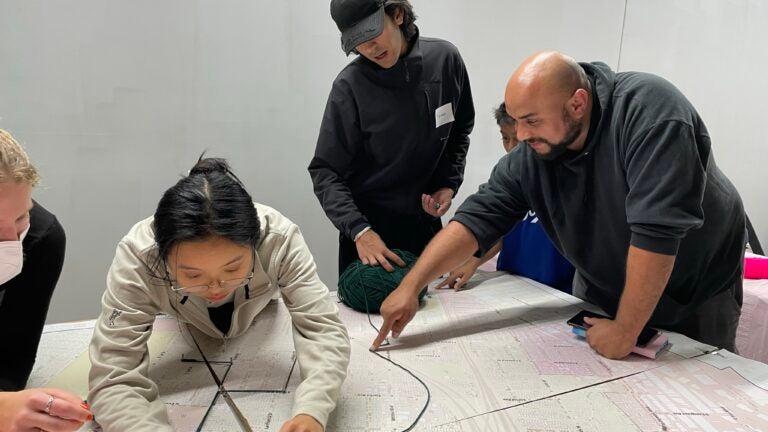
Where urban tree canopies and environmental justice meet
Researchers use grant to enhance greenery, cool cities, & address inequities.

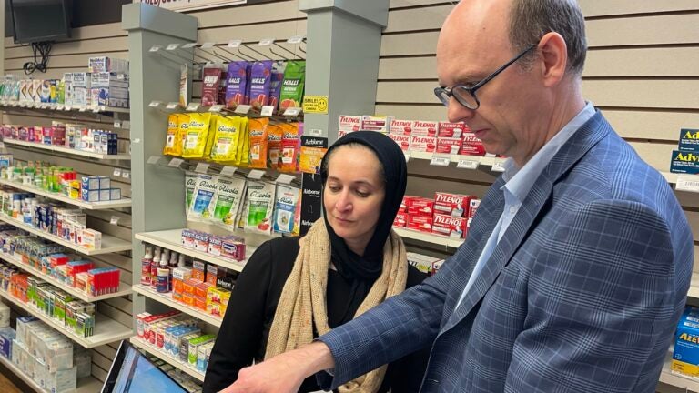
Rates of food insecurity in US may be higher than surveys suggest
according to new USC Dornsife study

Being an Eco-Minimalist
SSI’s Robert Vos gives lifestyle tips
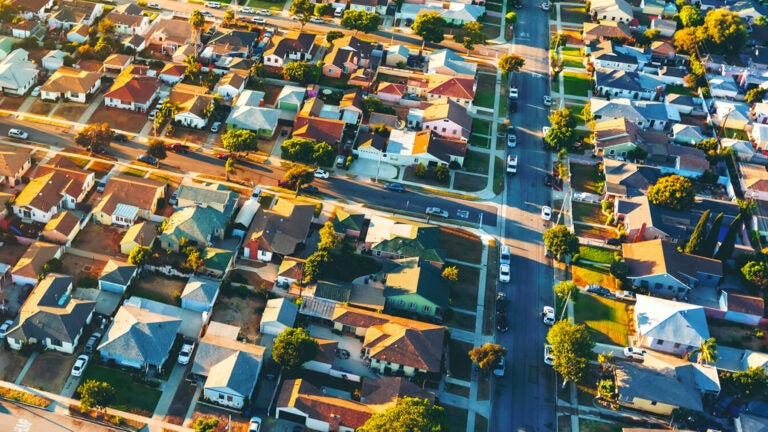
USC awarded $8.8 million for sustainability research initiatives
SSI is proud to be part of the USC Urban Trees Initiative
Stay informed with SSI updates
Get our news and invitations to upcoming events in your inbox.