USC
Print Friendly, PDF & Email

leileidu@usc.edu | (213) 740-6532 | AHF B55J

Curriculum Vitae

Personal Website

2018    Ph.D., Design, Construction and Planning, University of Florida
2018    M.S., Interdisciplinary Ecology, University of Florida
2014    M.S., Urban and Regional Planning, University of Florida
2011    B.S., Urban Management, Finance minor, East China University of Science and Technology

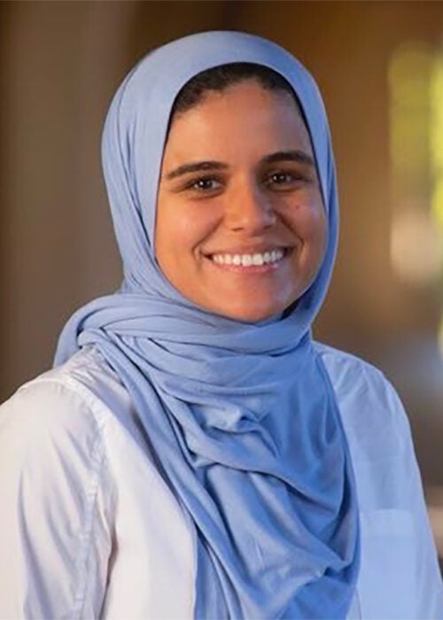
Leilei Duan, Ph.D., is a Lecturer with the Spatial Sciences Institute at the University of Southern California Dornsife College of Letters, Arts and Sciences.

Duan's research and teaching interests are in and use planning and resource allocation; computer-aided urban design; pedagogy, methodology and practice in Geodesign; urban data analysis: statistics, spatial analysis, visualization; application of geographic information system in urban planning; three-dimensional modeling system; quality of life and built environment; urban form and network analysis; and environmental planning. In particular, she has explored the Geodesign workflow in the population and employment allocation process and the impact of land use patterns on changes on traffic crashes.

She has presented her research at numerous conferences, including the Esri Geodesign Summit, American Association of Geographers, American Collegiate Schools of Planning, Urban and Regional Information Systems Association (URISA), the International Visualization in Transportation Symposium, and the Florida American Planning Association.

Read her take on "How GIS Analysts Are Using Maps to Help Cities During COVID-19 and Beyond."

Her teaching experience includes instruction in the following courses:

  • Principles of GeoDesign
  • Community Health Scan
  • The Water Planet
  • Human Populations and Natural Hazards
  • Maps and Spatial Reasoning
  • Principles of Geographic Information Science
  • Geospatial Modeling and Customization
  • Geospatial Intelligence
  • Environmental Design and Planning Practicum
  • Spatial Analysis
  • Modeling, Visualization and Simulation
  • Urban Coastal Analysis
  • Planning and Design
  • Geodesign Studio
  • 3D Geospatial Urban Modeling and Visualization

She is a member of the American Planning Association (APA), the American Association of Geographers (AAG), and Gamma Theta Upsilon (GTU). She is co-founder and administrator for the Geodesign Wiki website.

Selected presentations and relevant work:

Murtha, T., Wang, L. & Duan, L. (2019). Historical Analysis of Land Use Change and Geodesign of Rapid Urbanization: Orlando, Florida, USA. Journal of Digital Landscape Architecture, 4-2019, 205–212.

Duan, L. & Zwick, P.D. (2019, April). Exploring Geodesign: Using Three-dimensional Parametric Modeling Techniques in Conjunction with Two-dimensional Land Use Models to Better Visualize Future Growth. Paper presented at the annual conference of the American Association of Geographers, Washington, DC.

Duan, L. & Wasserman D. (2019, January). Generalized Procedural Rules for TOD & Urban Allocations. Paper presented at the 10th Geodesign Summit, Redlands, CA.

Duan, L. & Zwick, P.D. (2017, October). Detecting Development Opportunities Using Quality of Life Research and Land Use Suitability Modeling: A Case Study of the City of Tampa. Paper presented at the annual conference of the American Collegiate Schools of Planning Annual Conference, Denver, Colorado.

Duan, L., Zwick, P.D. & Bejleri, I. (2017, July). Using 3D parametric modeling to understand the future growth of cities: Simulating 3D infill allocation in the City of Tampa. Paper presented at the 8th International Visualization in Transportation Symposium: Visualization in Action, Washington, DC.

Duan, L. & Zwick, P.D. (2016, November). Exploring Volumetric Population Allocation Based on a Trend Growth Model: A Case Study of Infill Allocation in the City of Tampa. Paper presented at the American Collegiate Schools of Planning Annual Conference, Portland, Oregon.