First organized in 1999, November 19 is recognized as GIS Day to demonstrate real-world applications showing how users of geographic information science (GIS) and technology are making a difference in our society.
Each year Spatial Sciences Institute faculty and students join others across the university to participate in the world-wide celebration of GIS Day.
Examples of SSI GIS Day activities
2013
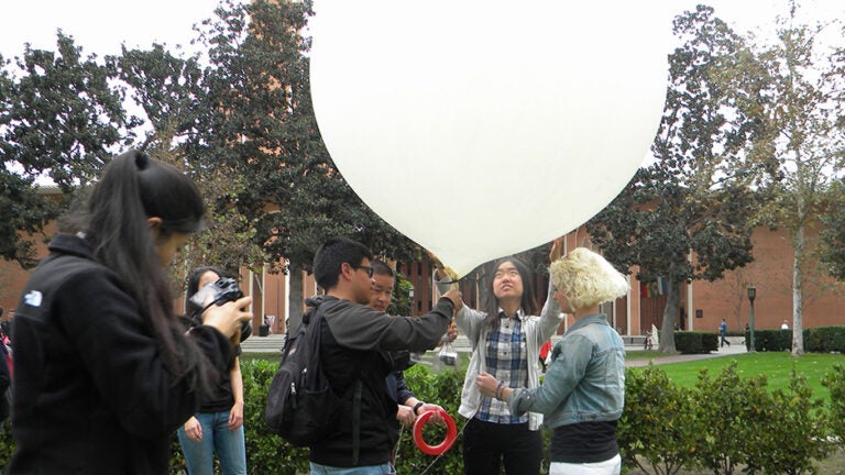
Using aerial images captured by an infrared camera attached to a weather balloon and spatial analysis and modeling software, students in SSCI 301: Maps and Spatial Reasoning constructed digital mosaic maps, contributing to “citizen science” and the development of volunteered geographic information in fields such as transportation planning, disaster response, landscape architecture, renewable energy and inner-city renewal.
2017
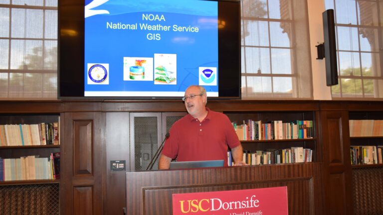
Jayme Laber, Senior Service Hydrologist with NOAA’s National Weather Service, presented a talk for the entire USC community on the current uses of GIS and geospatial data to track, forecast and issue warnings for weather-related events. He shared new and exciting data viewers for weather and hazards, as well as new satellite systems with greater spectral data collection capabilities and higher resolution.

2022
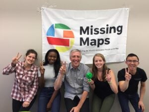
SC Mappers, the Spatial Sciences Institute student organization, led student volunteers in collecting data on the location and condition of waste bins on campus for the USC Sustainability Data Hub. This information supports the analysis of the usage and distribution of waste bins to improve bin access and to promote proper recycling/composting methods
As part of the grass roots observance, we join other organizations in presenting GIS Day activities. These organization include:
- Esri
- National Geographic Society
- Association of American Geographers
- American Congress on Surveying & Mapping (ACSM)
- American Geographical Society
- American Planning Association (APA)
- Center for International Earth Science Information Network (CIESIN)
- National Center for Geographic Information and Analysis (NCGIA)
- National Council for Geographic Education (NCGE)
- National States Geographic Information Council
- Open Geospatial Consortium (OGC), Sun Microsystems
- Urban and Regional Information Systems Association (URISA)
- University Consortium for Geographic Information Science (UCGIS)
- US Geological Survey (USGS)
- The Library of Congress
- Map and Geography Round Table (MAGERT) of the American Library Association
- The Nature Conservancy
- Wildlife Conservation Society
- World Wildlife Fund.


