We extract information from historical maps, and construct and use maps to help organize and visualize information in spatial decision support systems.
RECENT PUBLICATIONS
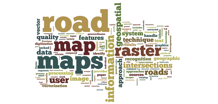
Chiang Yao-Yi, Knoblock C A. 2012. Generating Named Road Vector Data from Raster Maps. Geographic Information Science: Lecture Notes in Computer Science eds. Xiao N, et al. Berlin: Springer 7478: 57-71
________________________________________
Ghaemi P, Swift J N, Sister C E, Wilson J P, Wolch J. 2009. Design and Implementation of a Web-based Platform to Support Interactive Environmental Planning. Computers, Environment and Urban Systems 33: 482-491