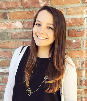
Following my first year of undergrad, I started searching for a minor that could help my resume and future job applications stand out against others. As a Policy, Planning, and Development major with passions spread across many different fields, I wanted to find a common link to tie my interests and studies together. Spatial Studies offers a unique opportunity for students to practice thinking spatially and critically to solve real-world problems, and the skills I’m learning can be applied in many different professional areas. Using Geographic Information Systems (GIS) to create maps gives me the artistic freedom to tell stories based on hard facts and data. Finding a creative way to share the knowledge I gain in different courses allows me to find connections between subjects I would not expect to overlap, and my Spatial Studies minor has opened up many doors for research opportunities, exciting conferences to travel to, and valuable relationships with others who share the same passion for looking in depth at how we use the space around us.
During the Spring 2017 semester, I joined Dr. Lynn Dodd of USC Archaeology and Dr. Su Jin Lee of the Spatial Sciences Institute in their collaborative research group interested in using GIS to study the hydrologic processes on Santa Catalina Island. This project introduced me to the rich cultural history of the island and emphasized the importance of understanding a place’s cultural significance alongside its ecological and environmental elements. I learned how to use tools within GIS in order to visualize and quantify the preliminary data students had previously collected, and I produced a collection of 15 maps showing how different Digital Elevation Models (DEMs) impact hydrologic features that has been submitted to the 2017 Esri Map Gallery. This summer, I have the incredible opportunity to stay on Santa Catalina Island for 10 weeks where I hike out in the field each day using GPS (Geospatial Technology) to collect new data to map and present. I never expected exploring a beautiful island would be part of my undergraduate experience, but thanks to the incredible interdisciplinary work of the Archaeology and Spatial Sciences departments, I am advancing my Spatial Studies skills in what I believe to be the most fascinating and exciting way possible.


