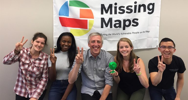

(L-R) Abriannah Aiken, Precious Nwaoha, Andy Rutkowski, Natalie Millstein, and Alex Chen
As part of the International GIS Day observances on Wednesday, November 15, 2017
– and as part of Challenge Week leading up to the annual USC-UCLA football game – spatially-oriented USC Trojans took on their UCLA counterparts in the first annual “Battle of Maps” to determine which university team could make the most map edits for the Humanitarian OpenStreetMap Team.
From 10 am to 1:30 pm, the USC students and faculty gathered in the Leavey Library Polymathic Innovation Lab to make live-time contributions to the OSM platform in support of priority humanitarian relief efforts around the world. To help responders and support agencies in hurricane-ravaged Puerto Rico, the USC mapping volunteers viewed satellite imagery and identified buildings where they were before the hurricane. The Trojan mappers also contributed to other priority OSM humanitarian projects around the world, including in Africa, South America, and Asia, mapping roads, coastlines, and rivers, as well as buildings and structures.
The challenge was organized by USC Visualization Librarian Andy Rutkowski and SC Mappers, a USC Spatial undergraduate club dedicated to using GIS for humanitarian work. SC Mapper leaders Natalie Millstein, Alex Chen, and Rich Windisch built campus-wide attention for the event through social media and a booth stationed outside of Leavey Library and helped run the event.
Chen, SC Mappers vice president and a senior in the B.S. in GeoDesign program, said the event appealed to students across academic disciplines because of the ability to directly contribute in a meaningful way to humanitarian causes where the need is greatest. Millstein, SC Mappers program director and a senior in the GeoDesign program, was excited by the turnout and the opportunity to organize change to help underserved communities.
As Rutkowski explained, the OSM platform relies upon volunteers to create maps in areas of the world where maps do not exist. Rutkowski said, “Contributing data and information to support responders after a major disaster is really important, and also gives us a chance to be connected to others in time and space.”
USC Spatial faculty Travis Longcore, Bob Vos, Laura Loyola, Lisa Sedano, and An-Min Wu with USC Spatial Managing Director Susan Kamei also contributed entries against the clock.
The mapathon was part of a coordinated effort of approximately 150 academic institutions and organizations that were also holding OSM mapathons on GIS Day.
In the end, the USC team prevailed over the UCLA team with 2,875 entries to UCLA’s 2,610. But as Rutkowski said, “The real winners are the communities our two teams helped support with nearly 5,500 OSM entries.”
To get involved with future relief efforts using the power of GIS and spatial sciences, please contact SC Mappers, Dr. Andrew Marx, or Dr. Lisa Sedano.

