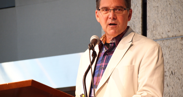

David DiBiase, Team Lead-Education, Esri
At the Fourth Annual Geospatial Summit presented by the USC Spatial Sciences Institute on Friday, February 21, 2014, geospatial industry leaders David DiBiase and Clark Easter addressed the tremendous opportunities available to those who can lead and innovate in geospatial sciences and technologies.
DiBiase, team lead for the education industry with Esri, a global geospatial software provider, urged the audience of industry professional, faculty, and students to lead by building and contributing to the geospatial community. Easter, who described himself as a "serial software entrepreneur" for more than 30 years, outlined what he considers to be an "extraordinary" future for those who can integrate geospatial information with cloud-based software applications in infrastructure, citing examples in infrastructure development and management, real-time environmental monitoring, and agriculture.
The panel on "How to Build a Geospatial Career" provided practical advice to the attendees at the event, held at the Japanese American National Museum in LA's Little Tokyo. Mark Greninger, geographic information officer for the County of Los Angeles, moderated the discussion with panelists DeKevon Ashley, co-founder and chief operational officer of thrdPlace, David S. King, GIS analyst with Jacobs, and Payal Kamar, founder of VSolvit LLC.
On the "LA's Open Data Initiatives Scene" panel, Kyle Hall, special assistant deputy controller with the City of Los Angeles, and Justin Mak, GIS systems analyst with the City of Santa Monica, shared how their municipalities are working with open data and using open data to develop solutions. Moderator Yohei Nakajima, co-organizer for Code for LA, and panelist Chrstine Outram, founder of City Innovation Group, joined in the discussion of the LA open data scene and how summit participants could support the development of open data.
Graduate and undergraduate students who were competitively selected gave presentations on their research. The presenting students were from USC and the regional educational institutions collaborating with the USC Spatial Sciences Institute for the summit: California State University, Channel Islands; California State University, Long Beach; California State University, Northridge; Claremont Graduate University School of Information Systems & Technology; Loyola Marymount University, the University of California, Los Angeles; and the University of Redlands. High school students from Roosevelt High School in the i.am.angel Foundation Esri Scholars program also were among the presenters.
The summit sponsors were California Surveying & Drafting Supply, the California Geographic Information Association, Esri, and the USC Spatial Sciences Institute.
The Fifth Annual Geospatial Summit will be on Friday, February 27, 2015, returning to the Japanese American National Museum. For 2015 Summit registration and other information, please contact Melissa Salido.

