
Nate Novak – M.S. Student Spotlight
Back in 2008, I was working as a research assistant for Scripps Institution of Oceanography at UC San Diego, where I was introduced to Geographic Information Systems (GIS) while studying marine animal migrations at the Marine Physical Laboratory. A colleague explained to me how Scripps researchers work on ocean vessels using GIS to collect and map sonar data. Later when I attended UC Santa Barbara (UCSB) as an undergraduate, that experience led me to study oceanography and geography. While completing my bachelor’s degree I learned much more about GIS and used it to complete the final projects in many classes. At UCSB I also conducted fascinating research using GIS and marina data, which turned out to be the favorite academic activities of my undergraduate experience. Due to the university’s superior academic reputation and proximity to my home town in Orange County, I chose the USC Spatial Sciences Institute (SSI) for my MS degree.
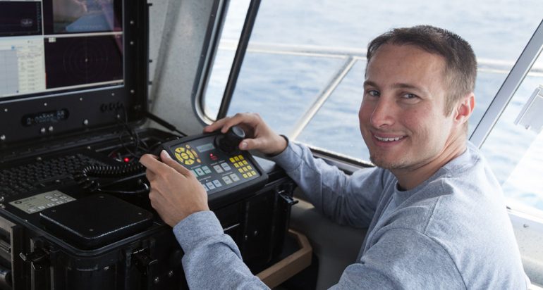
And now, while still completing my thesis, I have landed my dream job! This came about by way of networking within the Geospatial community in which USC SSI has direct involvement. Last year in 2014, I attended (physically, not virtually) a Geospatial San Diego LinkedIn event that was essentially a showcase of specialized GIS engineering research projects. There I made a new acquaintance, a marine science GIS professional. As I explained the work I had done during my undergrad program, this new colleague invited me to take a tour of the Orca Maritime Inc. facility in Imperial Beach, CA. Orca Maritime Inc. specializes in underwater imagery and data collection using autonomous underwater vehicles (AUVs), remotely operated vehicles (ROVs), boat systems and human divers. Through the new connections I made during that tour, Orca Maritime Inc. offered me an internship. I worked as an intern for about 1 month, after which I was hired as a full time employee! Orca Maritime Inc. produces marine data products that I process using GIS as part of my job performance, including side-scan sonar, bathymetry, sub-bottom profiles, and other oceanographic data. Orca Maritime Inc. also works directly with the US Navy and the United Nations (UN), as we are continually setting the standard for AUV data collection and processing. For example, in my day-to-day work, I migrate AUV data into GIS-ready formats, and conduct sonar mapping to make commercial and military ports more secure. The UN project employs AUVs in hydrographic surveying, and we have been involved in helping them create modern standards for AUV testing and assessments. The best parts about my job: I get to be out in the field – the ocean - with a world-class team, work with experts in underwater robotics and photography, and make sure that the marine data flows seamlessly from the various underwater vehicles into our high-end grade GIS products.
All of the spatial science and computing skills I have learned while studying GIS at USC, in particular the ArcGIS Server and cloud-based database hosting skills that I learned in SSCI 591 Web GIS, are directly applicable to work being conducted today in real-time Navy operations. The spatial application development classes I took at USC truly qualified me for this job! And it was experience gained through Web GIS that allowed me the opportunity to succeed at the end of the interviews. Today I help find shipwrecks, lost airplanes, and explore the deep ocean trenches that have never been explored! In essence, my specialized graduate degree at USC SSI has allowed me to do what I have wanted to do ever since I was young, to study the ocean using cutting-edge technology, exploring the unknown!

