Not long ago, people referred to their Thomas Brother guides to find out how to get across town. Now they access GPS navigation systems or tap into mapping programs on iPhones, Blackberries or other devices.
Getting from point A to point B, however, extends far beyond the spatial sciences. This new multidisciplinary field has contributed many of the theoretical and technical advances that serve as the building blocks for new spatially aware technologies while promoting the collection, management and analysis of digital geospatial information in both the natural and built environments.
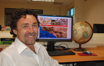
“Technology allows us do our jobs and our research better and provides a rich and extensible framework from which our students can grow and diversify their skills,” said John Wilson, professor of geography and one of the world’s leading scholars in spatial sciences, a field driven by geographers and computer scientists.
This past spring, Wilson, along with his colleagues from six USC schools, gathered to discuss the interdisciplinary nature of geographic information systems and how it enhances the research enterprise.
“Through this process, I learned that dozens of professors throughout USC were interested in or already using geographic information systems and related technologies [GPS, satellite remote sensing and personal sensors] in their research,” Wilson said.
Howard Gillman, dean of USC College, said, “The launch of the newly established Spatial Sciences Institute under the directorship of Wilson will help facilitate and optimize the use of spatial sciences across the university and continue to build on the excellence across existing areas of strength.”
The need for skilled workers in the spatial sciences is on an upswing. In June, the U.S. Department of Labor added several geospatial job categories to its lists. The department estimates that currently there are half a million people working in these geospatial sciences occupations and that the numbers employed can be expected to grow 7 percent per year in the next decade.
According to Wilson, the many benefits of spatial sciences affect the natural, social and behavioral sciences in addition to engineering and the arts and humanities.
Wilson said that an area of great interest where spatial sciences can make a substantial difference is in terms of understanding the health risks associated with various kinds of environmental exposures. For example, the measurement of ultraviolet radiation exposure in humans, which leads to melanoma, has proved challenging.
Wilson explained how he, along with one of his former doctoral students (Zaria Tatalovich, who is now employed as a researcher with the National Cancer Institute), two faculty colleagues (Myles Cockburn and Thomas Mack) and another graduate student in preventive medicine were able to show that average annual ultraviolet radiation exposure based on residential history and the time spent outdoors at a very young age significantly increased the risk for melanoma.
“With spatial sciences, we can accomplish tasks that were previously unimaginable — the opportunities are infinite,” Wilson said. “By using an interdisciplinary, multi-school approach, we can offer a unique set of experiences for students that complement the extraordinarily rich and diverse set of campus-wide perspectives that currently exist.”
Wilson added that technology is ahead of people’s ability to use it. “It modifies the way people think about the world and incites progress through imagination.”
The Spatial Sciences Institute will be headquartered at USC College.
To learn more, visit http://gis.usc.edu/
(See original article here)


